Zappelli Bivouac, from Pré Maudil

Edited by:
Massimo Martini
Updated at: 25/07/2026
Access
Road directions
Leave the motorway [A5] at the Aosta Ovest exit and join the regional road towards Sarre, following it for 950m (0.95km) until you reach the junction with the state road . Join the and continue for 18.4 km (19.35 km), passing through and alongside the villages of Saint-Pierre, Villeneuve, Arvier, Avise and Derby, until you reach a roundabout at the entrance to La Salle. At the roundabout, take the second exit and continue for 170 m (19.52 km). Continue straight on for 850 m (20.37 km), then turn left and continue for 500 m (20.87 km). Turn slightly to the right and continue for the final 97m (20.97km) to the car park at Pré Maudil, along the dirt track towards Chabodey.
Car park
In Pré Maudil, along the dirt track leading to Chabodey, there is a free 🅿️ car park with a few spaces available at the side of the road; this is the starting point of the route.
Access by public transport
To reach the starting point of the route, you will need a private vehicle, as Pré Maudil is not served by public transport.
Distance and journey time
🕒 Journey time: 25 minutes
📏 Distance: 21.0 km
GPS navigation
Important information
The directions provided were verified on the date the route was mapped. Before setting off, we recommend checking for any changes to the route or road conditions. For up-to-date information, please consult Google Maps or Apple Maps.
Introduction
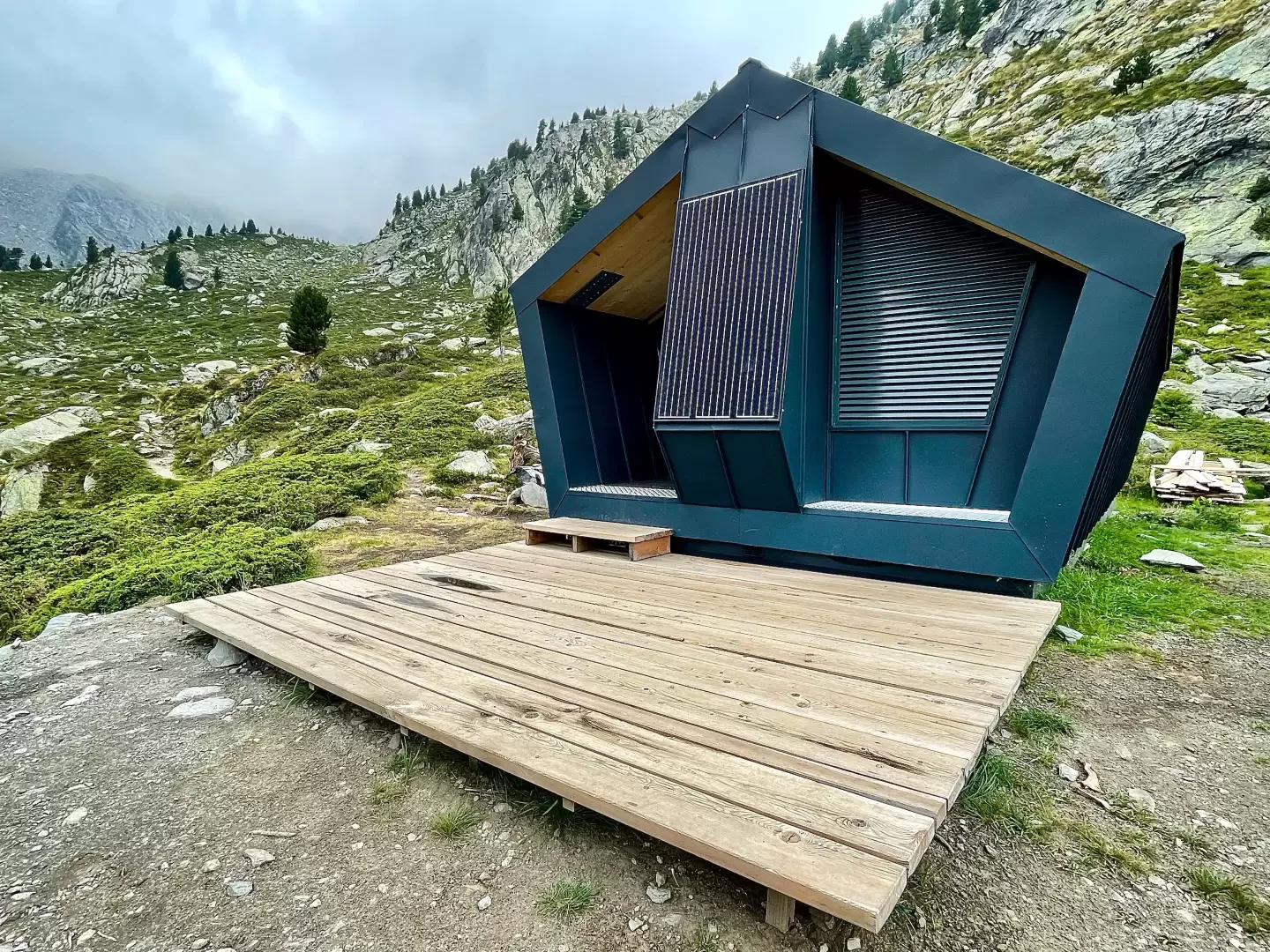
The valley above Pré Maudil, in the municipality of La Salle, can be ascended entirely via footpaths and farm tracks up to the Zappelli Bivouac, a recently built structure situated on the route of theAlta Via 2, on the section between the Col de la Crosatie and the Passo Alto. The return journey follows the same route as the ascent.
The first section passes through a mixed woodland of silver fir, birch and larch, with intermittent views of Mont Blanc, as far as the Lazey mountain pasture and the chapel dedicated to St Louis Gonzaga. Once past the Val du Fond valley floor, the path climbs the southern slope of the valley to the Col de la Crosatie junction, where it joins theAlta Via 2, and continues to the Promoud mountain pasture: the old bivouac once stood here, but it was destroyed by an avalanche and replaced in 2021 by the current structure a little further up the slope.
The route is suitable for hikers, following paths and farm tracks that are always well-marked and signposted, with no exposed or equipped sections; however, the elevation gain is substantial and spread over a steady distance, with an almost constant climb in the second half of the route.
Description
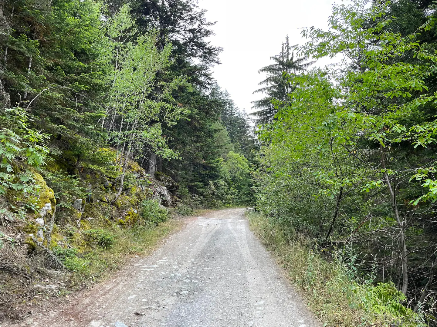
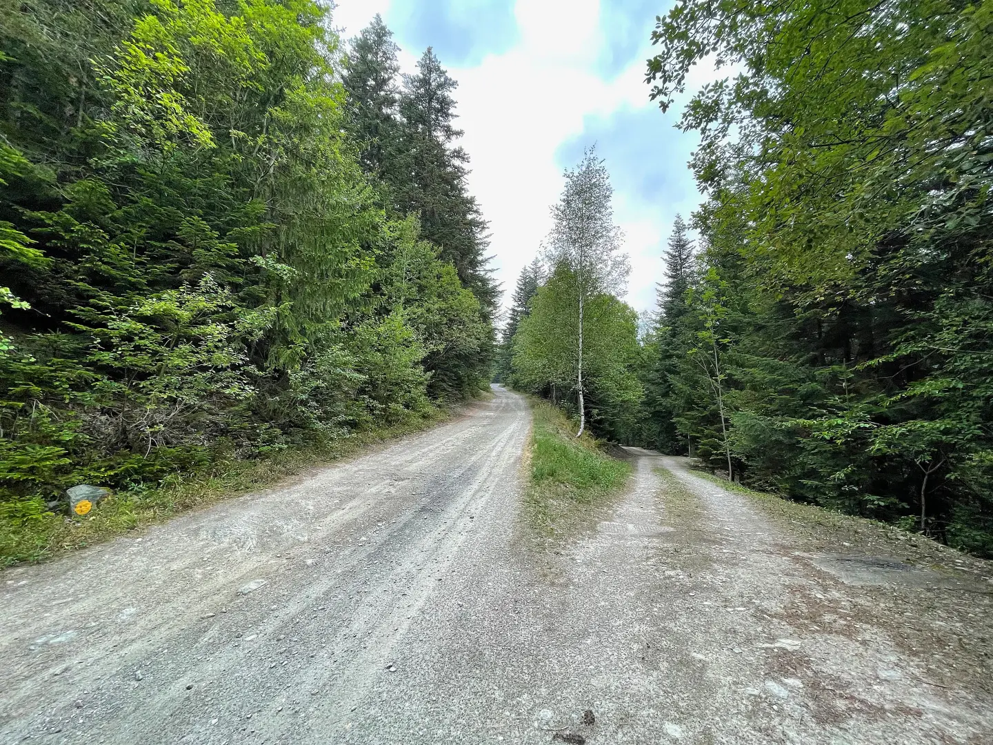
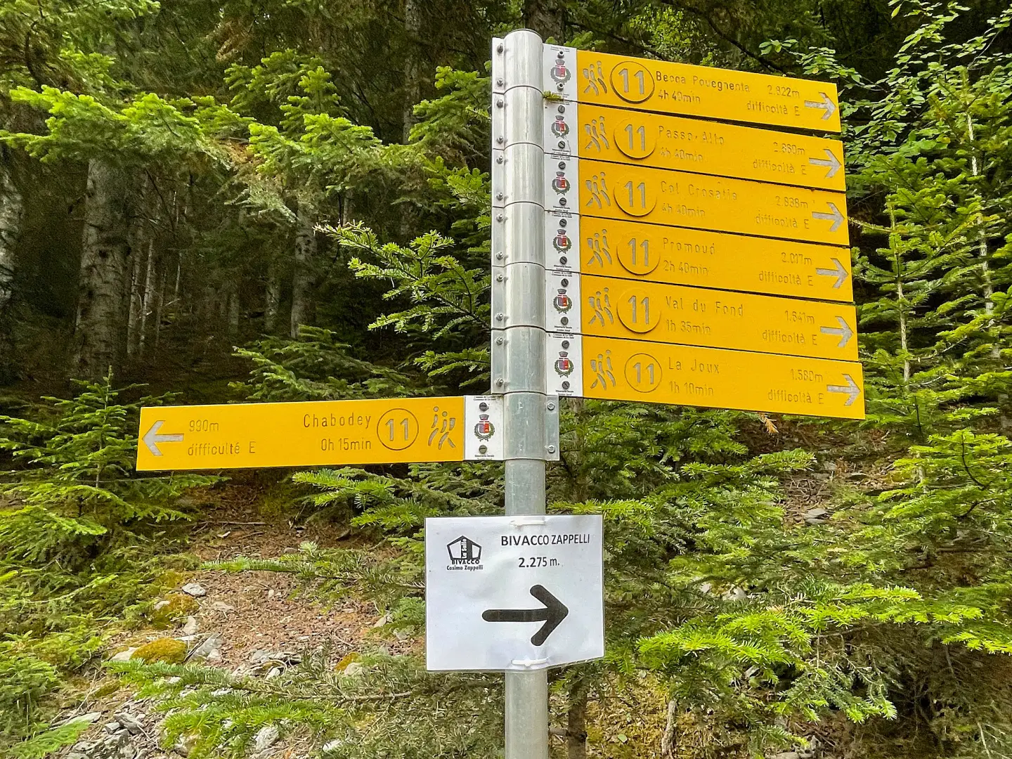
0h00' 0.00km From the ‘No Entry’ sign, continue for about a hundred metres along the farm track, ignoring the track that descends to the right, until you reach the start of the path, marked by a signpost.
0h02' 0.07km Take thewide path, passing a wooden sign on your right pointing towards Lazey, and head uphill on a steep slope through a forest of silver fir (Abies alba) and birch (Betula pendula). Along the first section, a number of wooden plaques describe the place names of the areas you pass through, whilst glimpses of Mont Blanc open up amongst the fir trees. Continue through the woodland, veering left until you reach a section with a more moderate gradient, then resume the ascent diagonally with a series of bends. You’ll reach a section that is partly paved, where the gradient steepens again. The woodland gradually thins out, giving way to a strip of birch trees leading up to the pasture. You’ll then come across a metal pipe that collects and channels the waters of the Lenteney stream and, a little further on, an aqueduct. Immediately afterwards, you’ll reach a farm track — which can also be followed in its entirety, with a gentler gradient but a longer route —; turn first right and then left to reach Lazey (1,509 m), a small cluster of buildings comprising a mountain pasture and the chapel dedicated to St Louis Gonzaga (1,515 m).
0h55' 1.61km After passing the signpost, continue along the farm track to the first hairpin bend, where you rejoin the path that continues straight ahead. Re-enter the larch forest (Larix decidua) and, after a few short bends, skirt a clearing before rejoining the farm track, where a signpost marks the junction of the path for Costablinaz (1,578m).
1h10' 2.07km Continue straight on along the flat farm track, skirting the Lenteney stream, until you reach a junction with another signpost (1,583 m).
1h10' 2.18km Turn left, move to the right bank of the stream and continue along the farm track until you reach another junction with a signpost.
1h14' 2.50km Ignore the path to Tillac and continue along the farm track, crossing the valley floor on a gentle climb until you reach another signpost near Val du Fond.
1h20' 3.67km Turn right and take a path that begins to climb southwards through a forest of fir and larch, interspersed in places with short clearings: on this stretch too, as on the first part of the ascent, a number of signs written in patois list the names of the hamlets within the woodland. The path becomes steeper, leading to a ledge offering a few views from which to appreciate the valley’s topography. The woodland alternates with more open stretches, covered in low-growing vegetation, until you reach a plateau, preceded by another stretch alongside the Lenteney stream and the arrival at a boulder featuring a small votive shrine with a red-painted metal grille. A little further on, you come to a wooden footbridge, preceded by a signpost indicating the junction for the Col de la Crosatie and the link-up with the Alta Via .
2h12' 5.42km Ignore the path to the left, cross the stream and walk briefly uphill across the pasture until you reach Promoud (2,038m), a mountain pasture that once served as a bivouac, before an avalanche rendered it unusable. Leave the mountain pasture on your left and follow the path uphill, accompanied by the last few scattered larch trees. The path climbs steadily up a ridge, leaving the winding course of the Lenteney stream to your left. The gradient eases and, crossing a band of boulders surrounded by juniper (Juniperus communis, subspecies to be confirmed) and rhododendron (Rhododendron ferrugineum), you finally reach the Zappelli Bivouac (2,277m) 2h45' 6.76km .
The return journey follows the same route taken on the ascent 2h15' 6.76km .
Places of Interest
Collections
Photo gallery
Comments (0)
Sign in to leave a comment